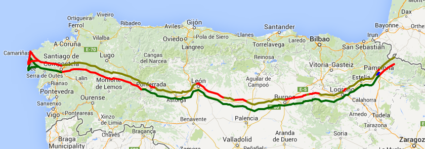
Wynette: Last year we started in Roncesvalles (near the French border) and ended in Santiago. Because of my uncooperative right foot, we skipped (via bus/taxi/train) a total of 100 miles here and there between Logroño and León. This year we plan to start in Pamplona and hope to walk without a break to a little past Ponferrada and then catch a bus to Santiago, then from Santiago walk to the ocean (Finesterre and then Muxia). About half the miles this year will be new to us and the other half will be old friends. The above map shows last year’s route and this year’s planned route. (You can click on it to get a bigger version.) The red parts are places not walked. The light green is 2013 actual. The dark green is 2014 planned. Here’s a live map. We’ll post the actual 2014 progress as it happens.
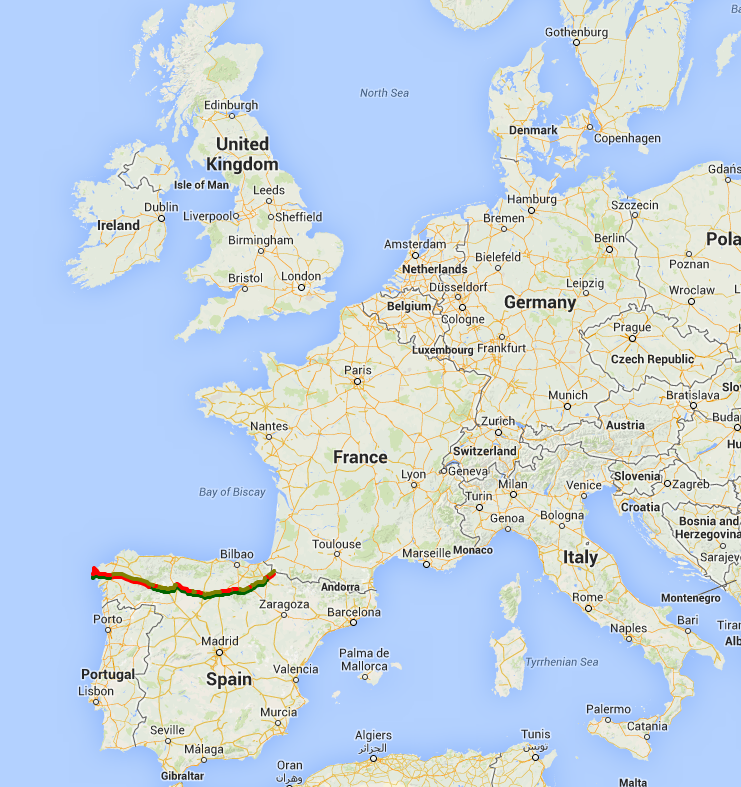
Here’s a map of the camino and the whole of Europe! Whew! That makes it look big. But we plan to do it at the rate of 8 miles a day. One step at a time.