Camino Frances from Saint Jean to Sahagun, then a week in Zamora
Post by Wynette:
Taxiing: about 4.5 miles
Walking: 3.6 miles, 2 hours and 23 minutes, up 427 feet, down 531 feet
Note by Wynette: I started this post several days ago and then ran into problems uploading the photos. It took a couple of days for us to resolve this problem, plus we had a couple of very busy days. I got behind on our daily logs. I hope to slowly fill them all in! Of course, the dates are going to appear out of order.
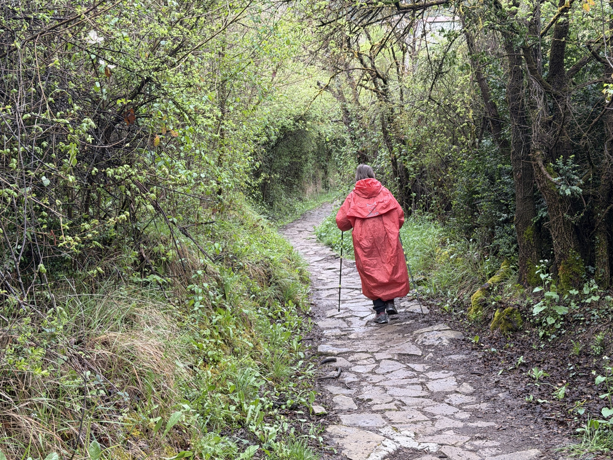
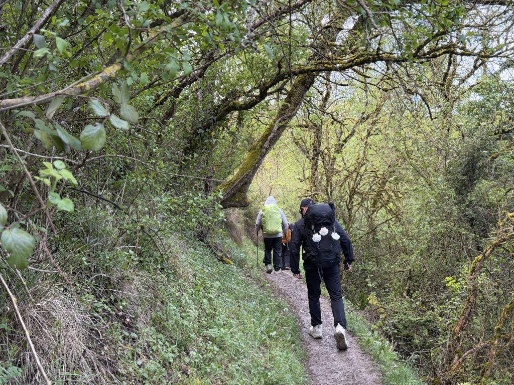
The stretch of walking leaving Linzoain is famous for being treacherous when wet. Extremely steep downhill, rocky, muddy, and slippery. Much discussion about it on the Camino forum we read. Weather forecast was for overnight rain, 100% chance, for several hours. Charlie and I decided we didn’t want to risk it. So … we called a taxi to take us around that section. Of course, it might have been the first time we’ve ever seen here when it didn’t rain when there was any rain at all in the forecast. But, I didn’t mind missing that section, even if it didn’t rain much after all.
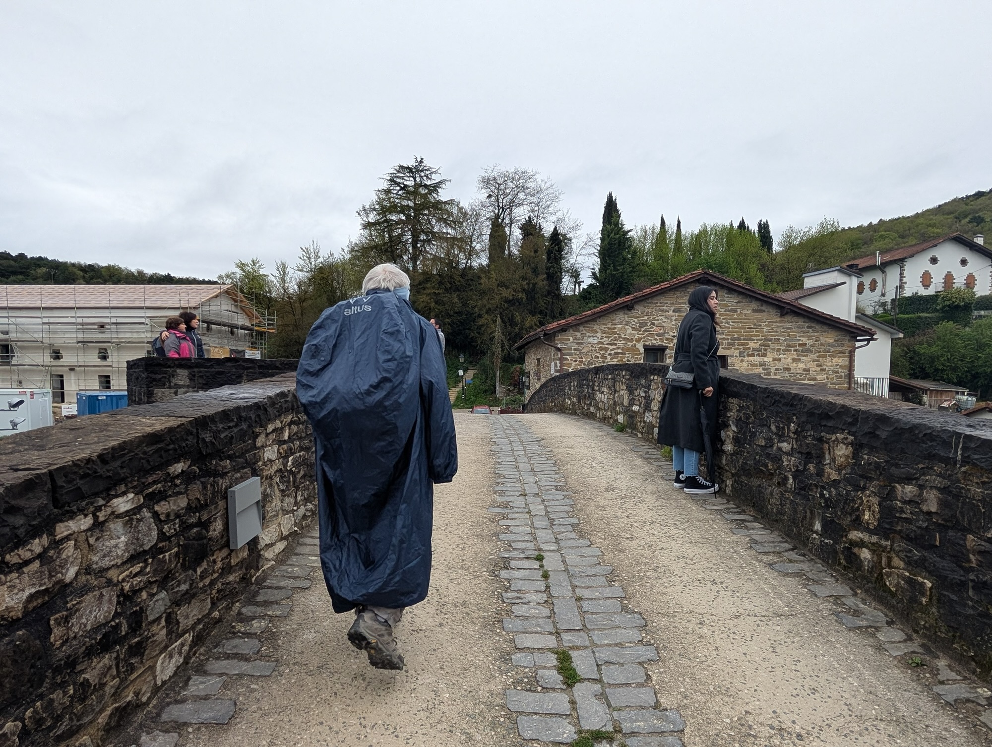
We told the taxi driver, “Take us to the closest bar to the Camino in Zubiri.” We had a nice coffee there and then headed out, starting on the Camino at Puente de la Rabia where supposedly people would take their rabid animals to be cured (by walking around it somehow, even though the bridge is over a good-sized river, at least by New Mexico standards).
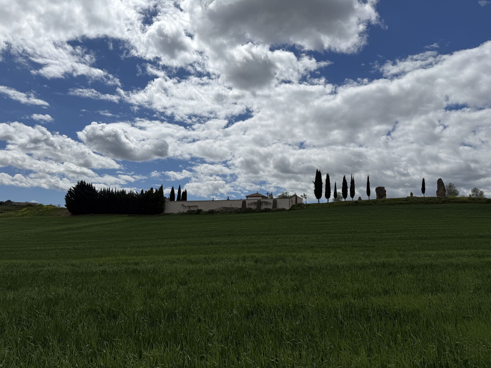
Seen as we approached Cirauqui. We see these all the time. Most of them seem to be full. Many of them have the tall thin cypress trees around them.
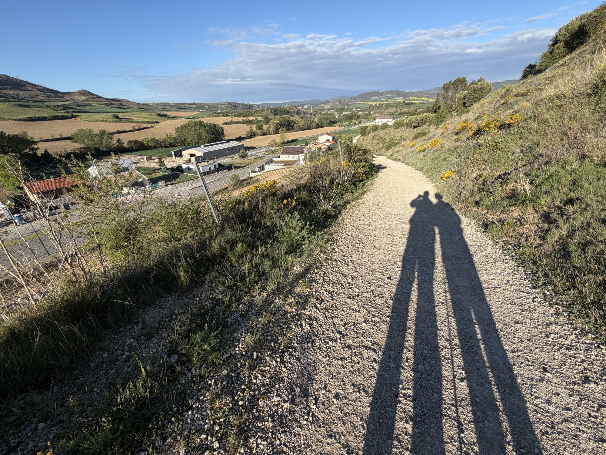
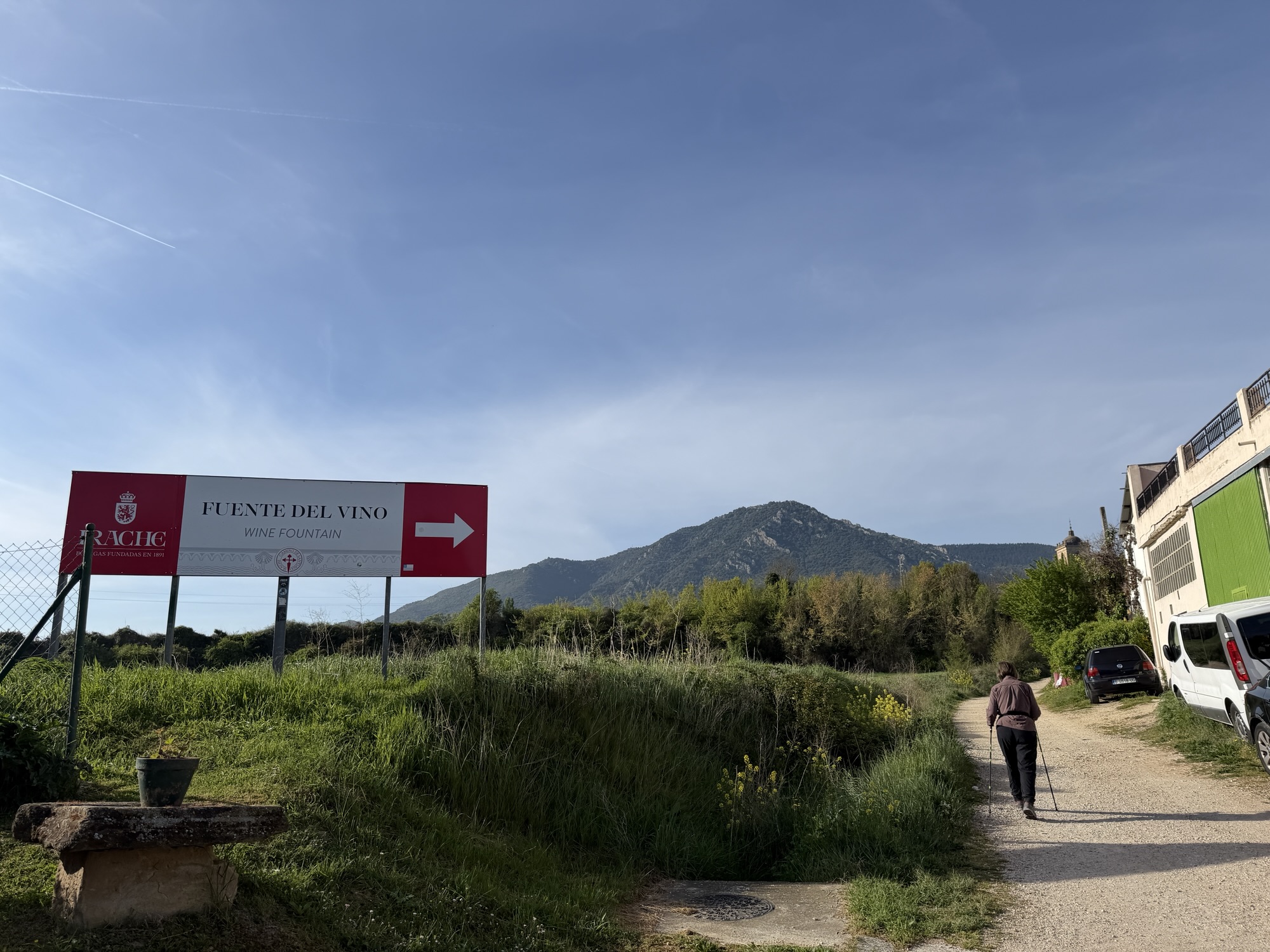
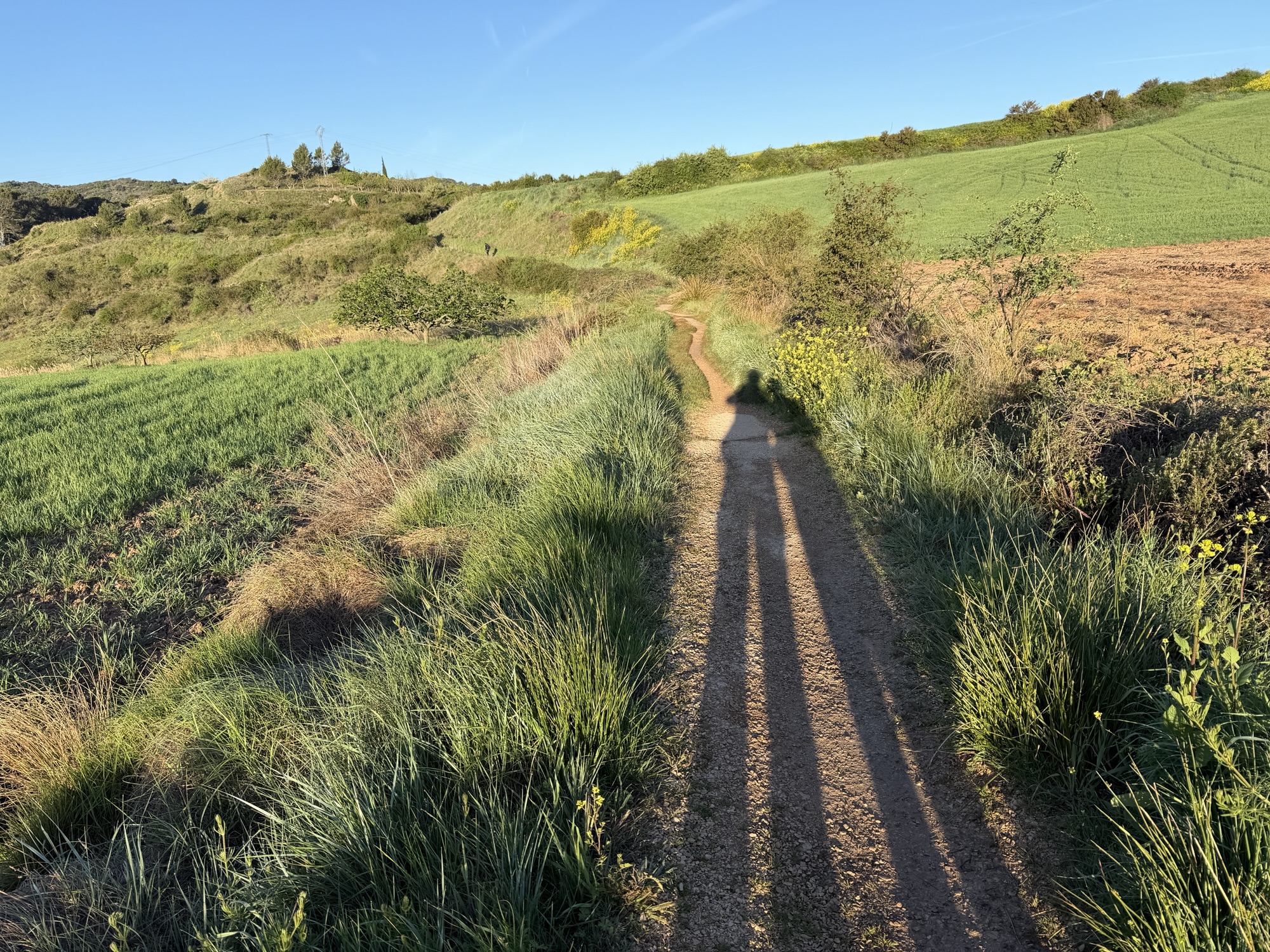
We are walking through picturesque countryside with various crops. We had just walked up to a hill town and were walking down when we took this.
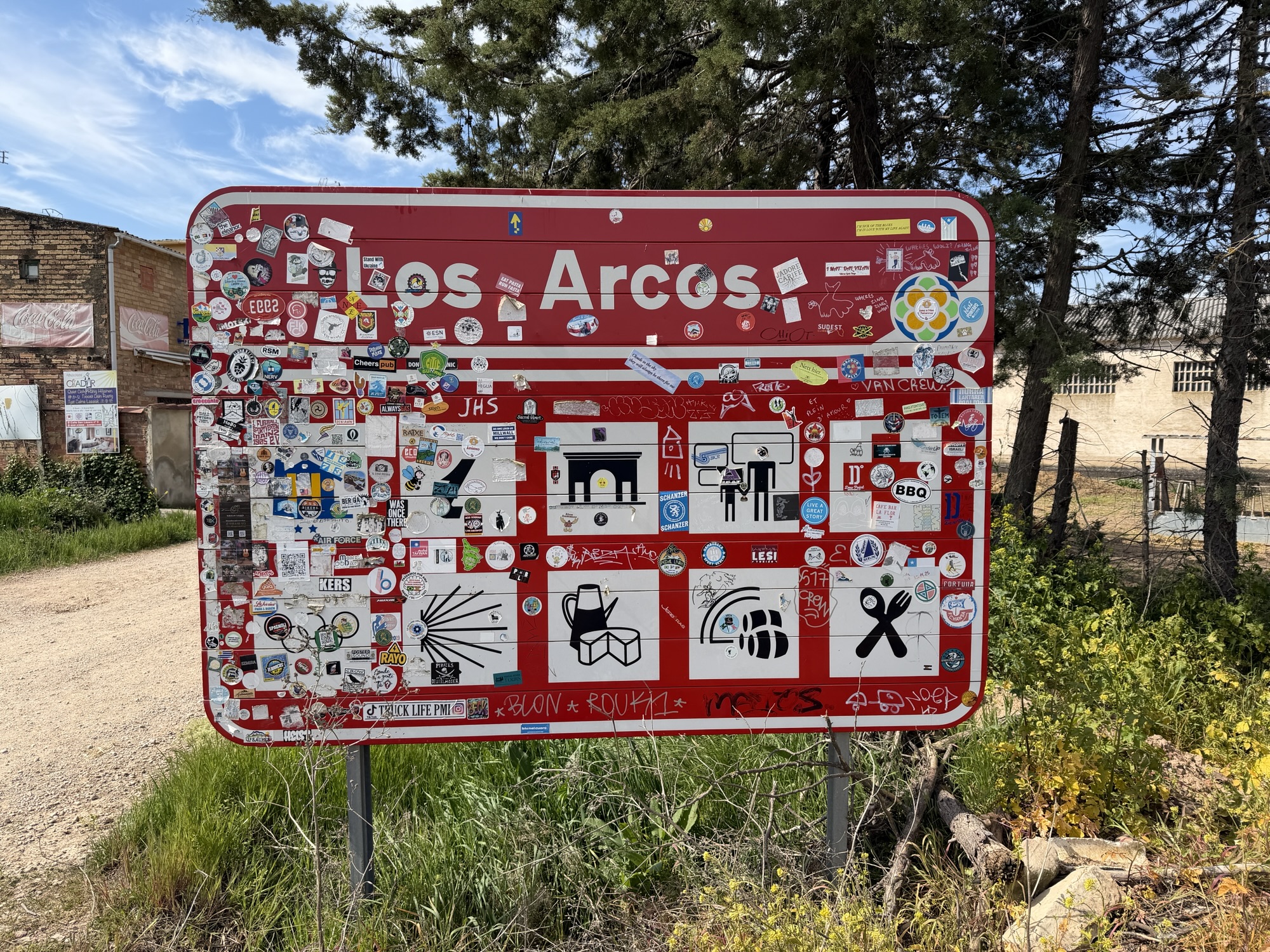
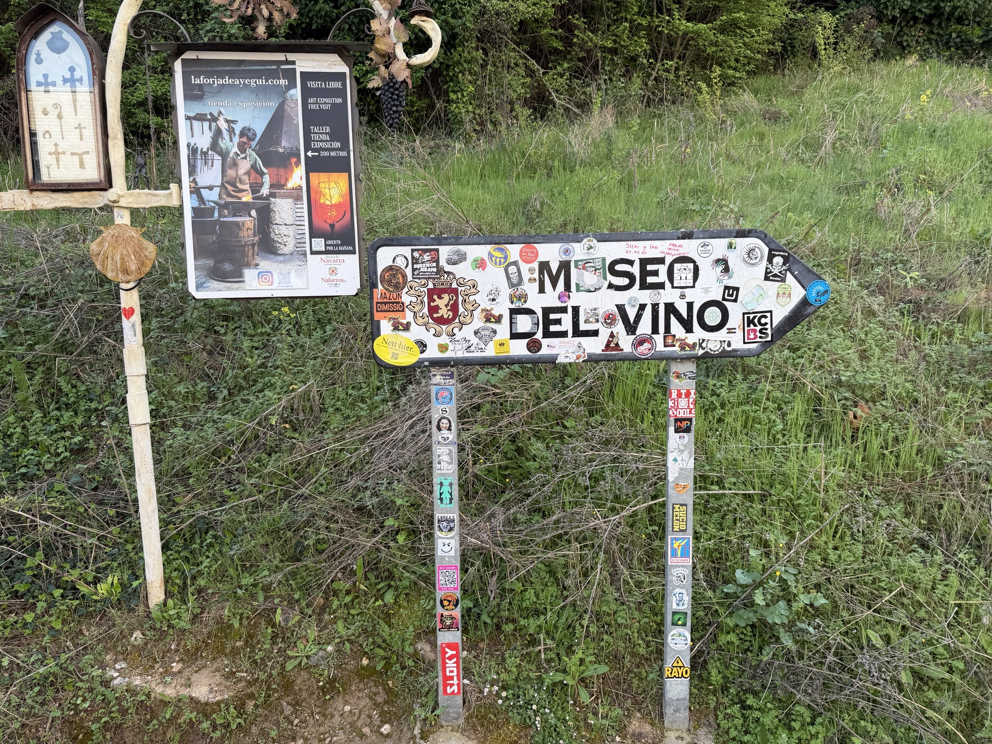
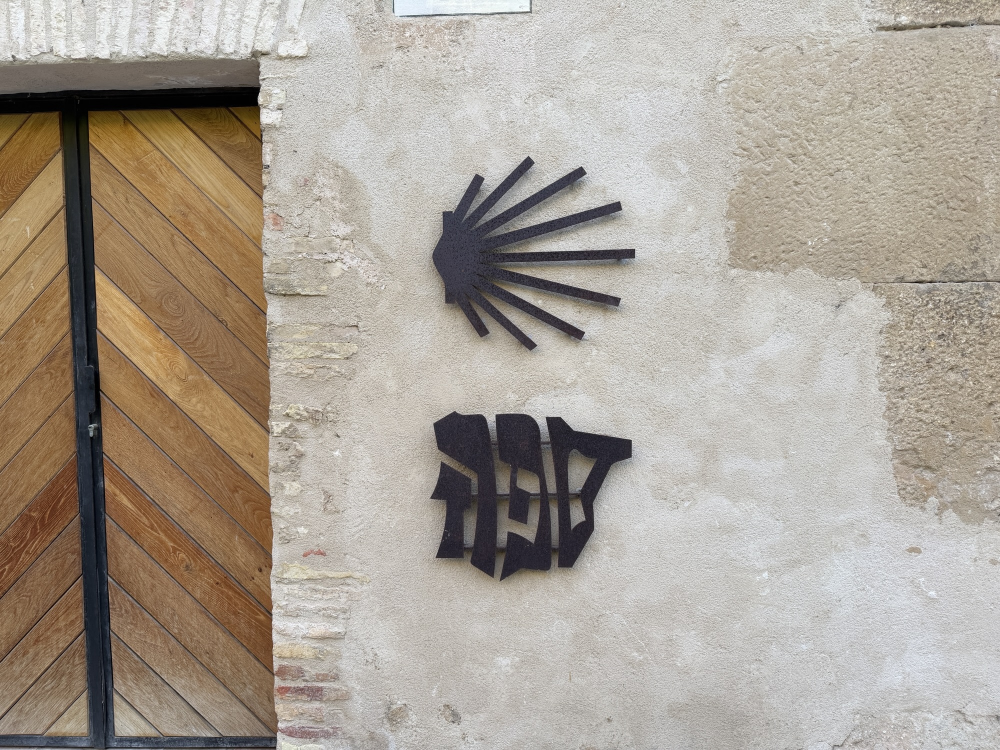
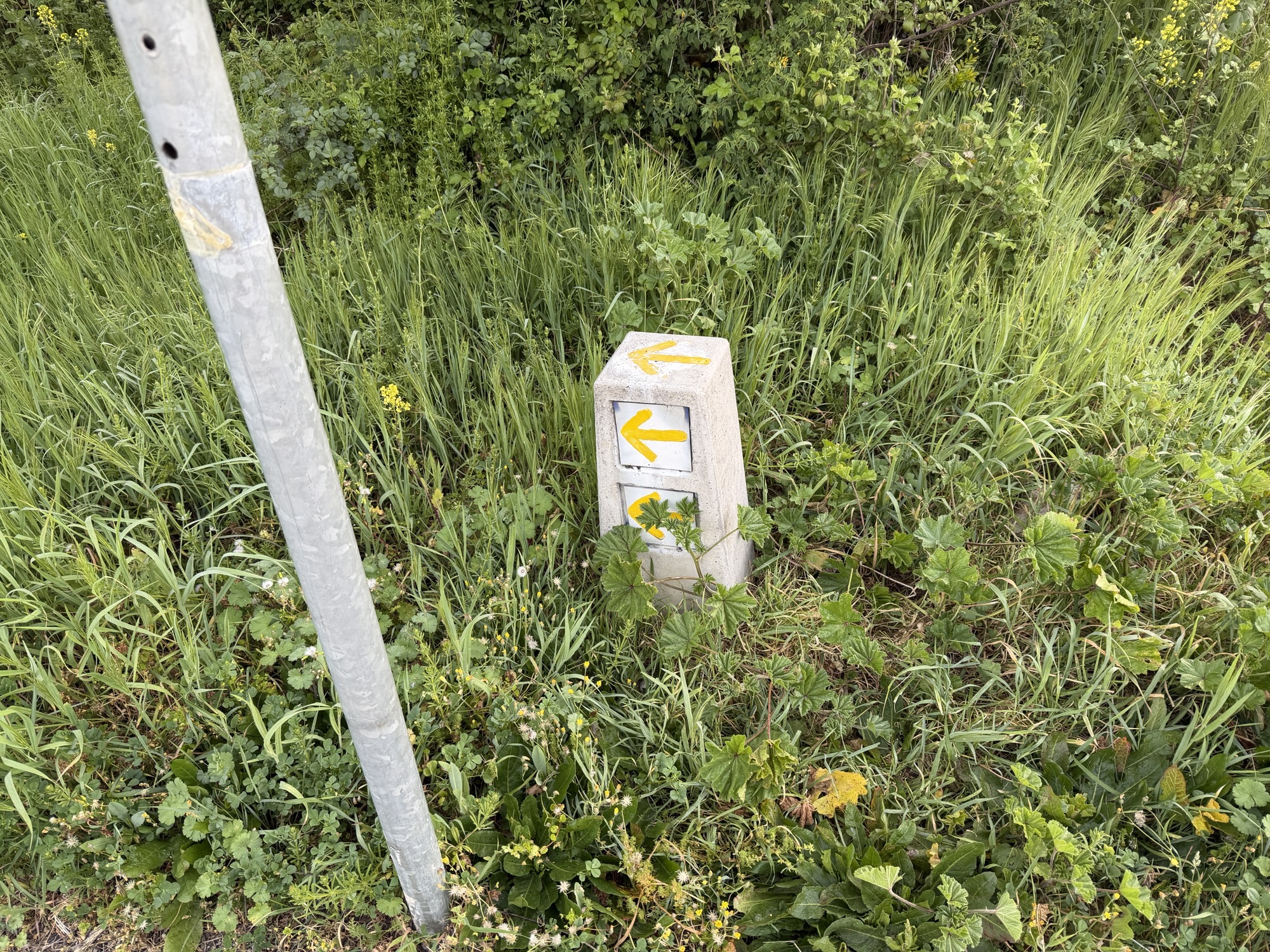
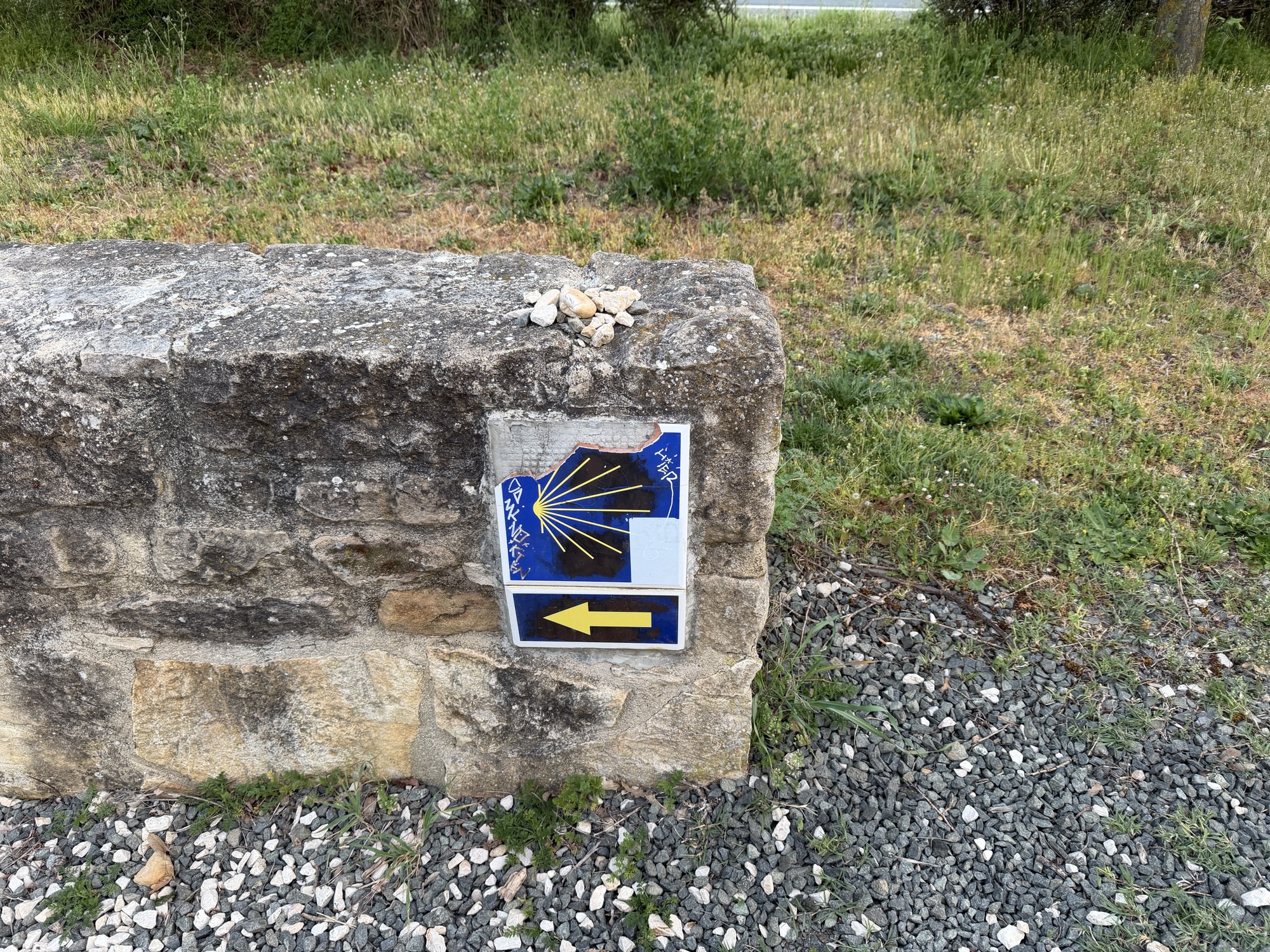
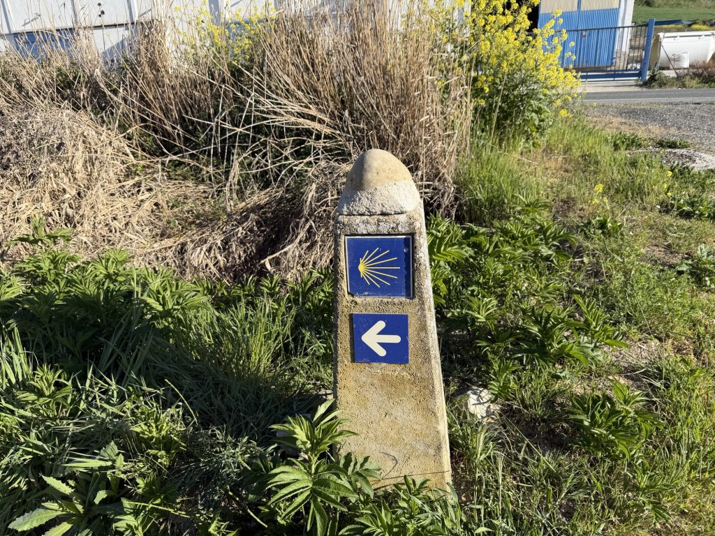
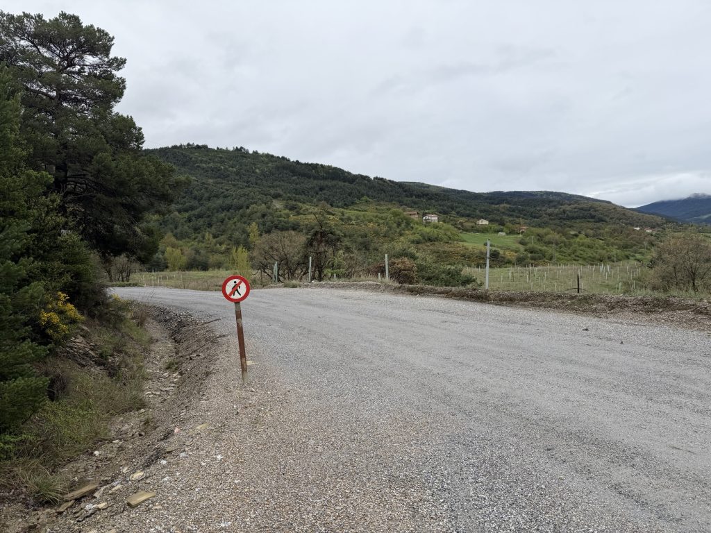
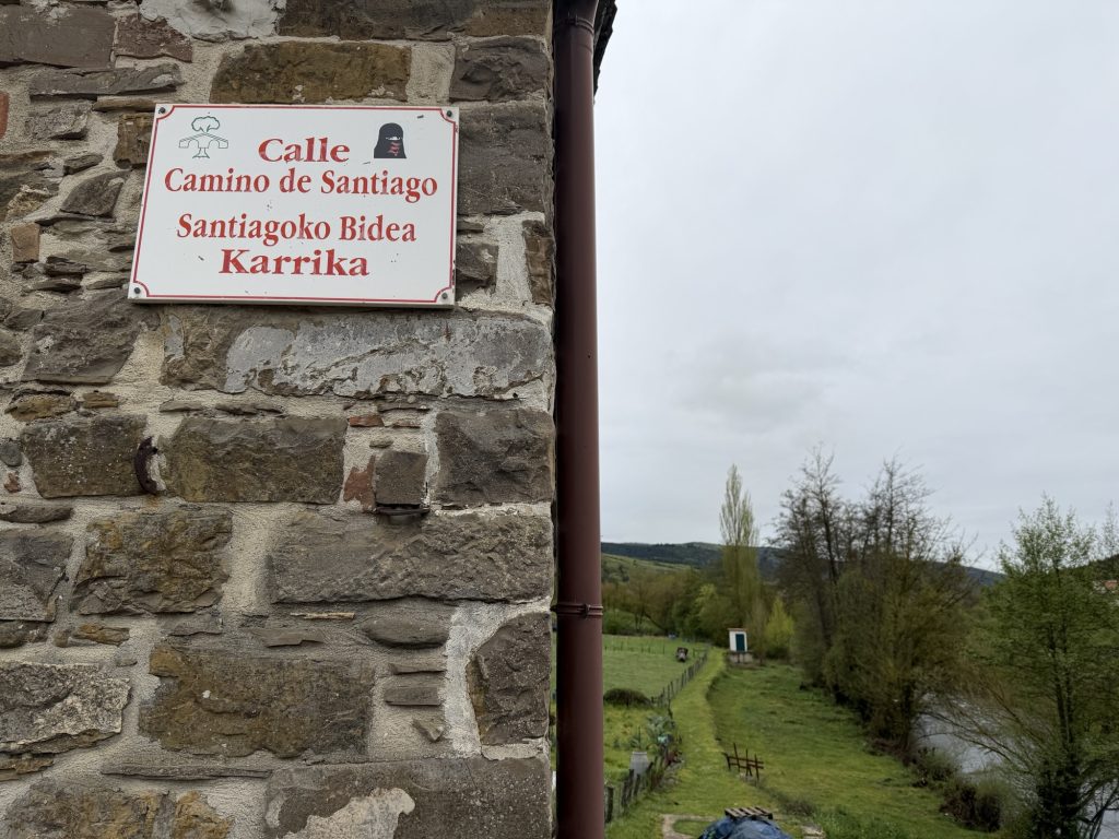
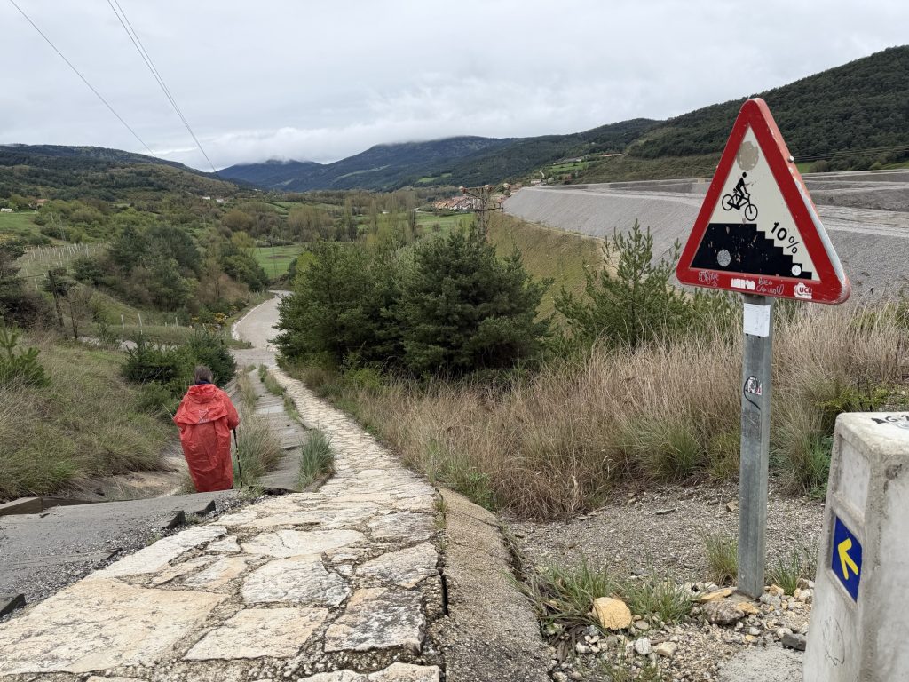
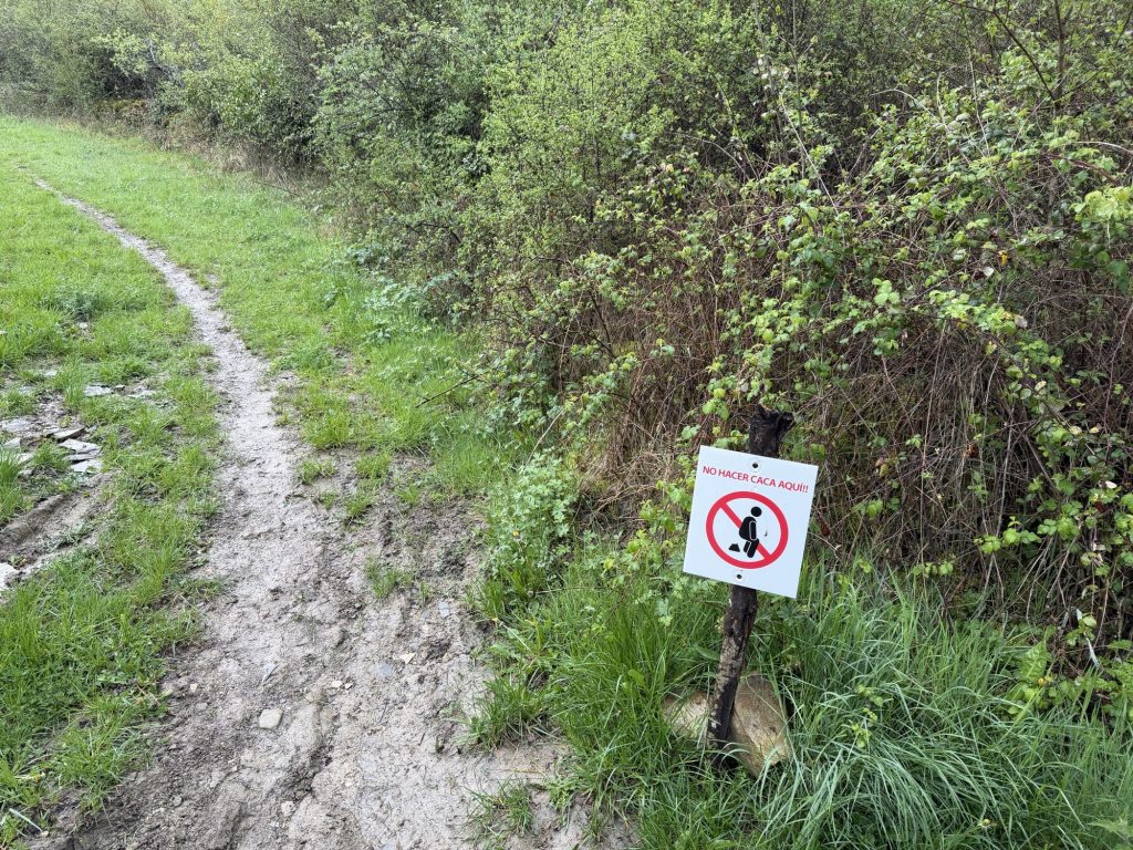
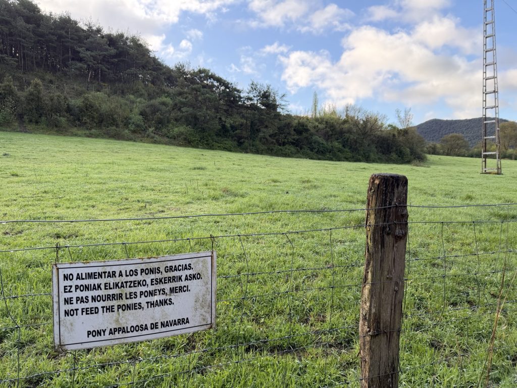
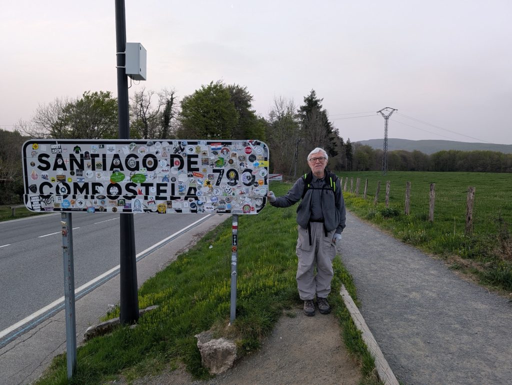
I see lots of interesting signs along the way.
Post by Charlie and Wynette:
9.1. miles, up 546 feet, down 1363 feet, six hours on the trail
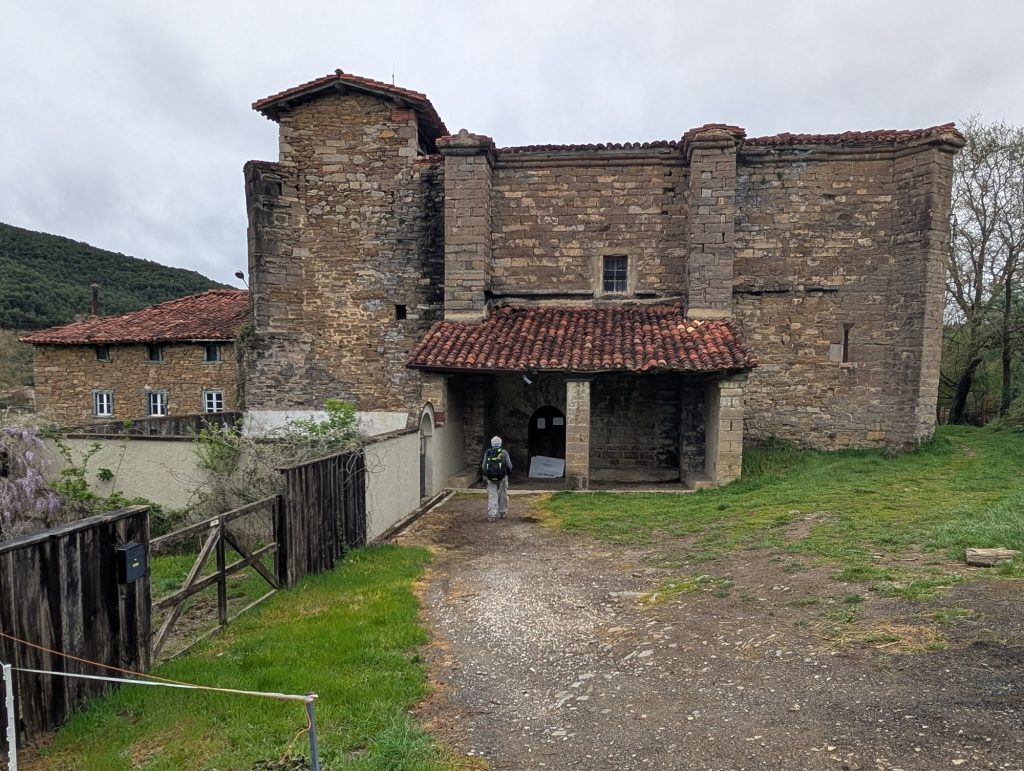
We started in Roncesvalles on our 2013 Camino so we were anxious to see how much we remembered. Quite a lot it turned out although lots of details had been forgotten, as is the way with memory. Will just talk about the day with photos.
Seems like it would be pretty hard but more power to them. The baby looks no more than two or three months old.
Lots of pilgrims have a shell on their pack but usually just one. Personally having things swinging off my pack bothers me so I have never done it.