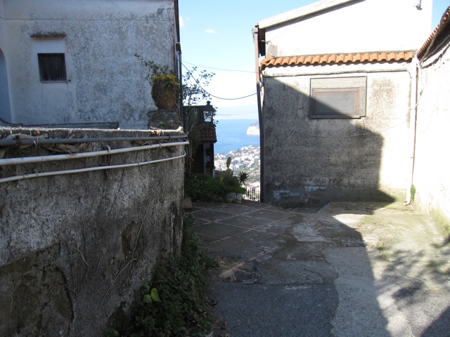
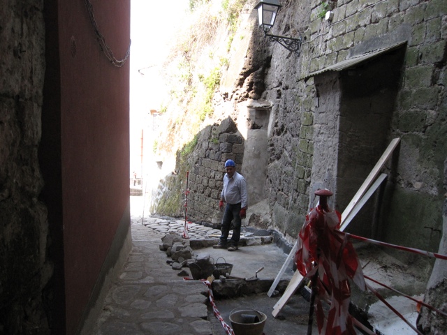
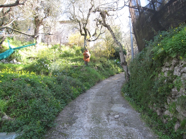
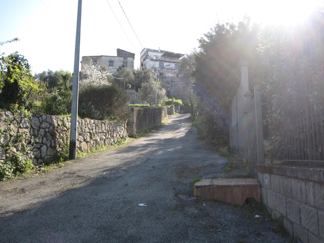
Sorrento is on a peninsula that rises up about 1000 feet (just guessing, I’ll check later) from Sorrento to the peak and then down again on the southern side which is the Amali Coast. I hiked up to the high point which is a town called St. Agatha. I started out from Sorrento center and within 3-4 blocks I was on one of the little lanes which are all over Sorrento and most Italian towns. Here is the one I was walking on:
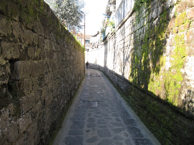
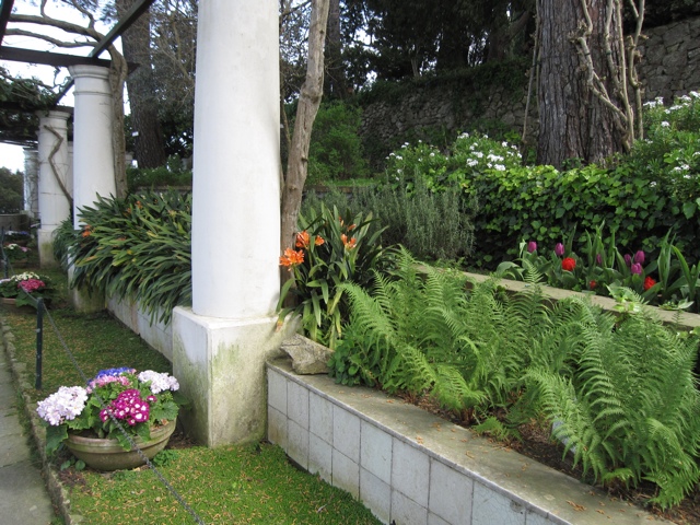
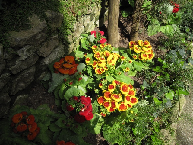
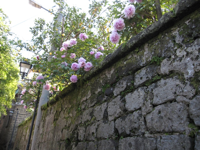
This is a street, a few cars and several scooters passed me as I walked up. The lane has high walls and goes by houses. Most houses have lemon and/or orange trees. Here is a yard that had some nice flowers;
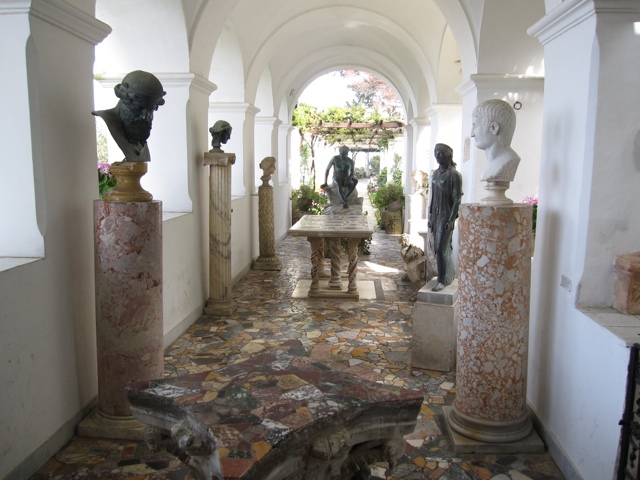
My camera wanted to take a picture of my belt camera case which is really its home so I indulged it.
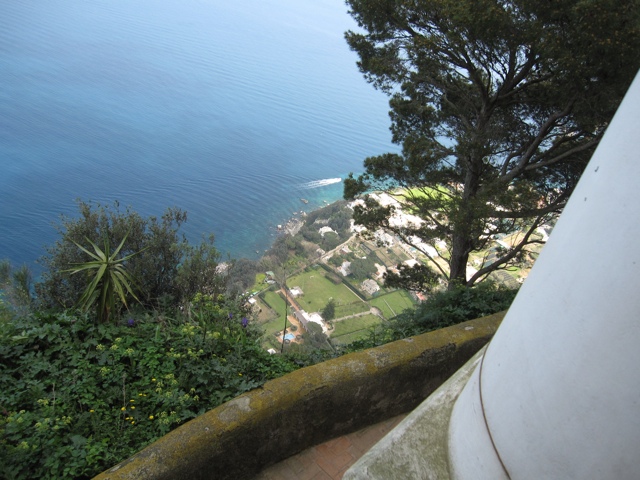
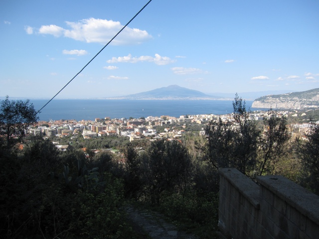
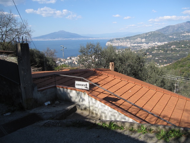
Now I am about half way. Here is a view back at Sorrento. That is Mt. Vesuvius in the background.
It is more of a trail now. No walls so you can see into people’s gardens. I saw one guy doing his spring rototilling.
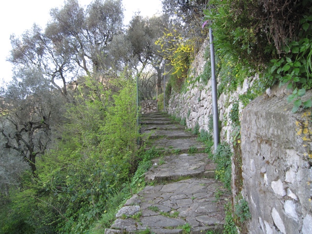
Now it changes to an actual footpath, scooters not allowed. The St. agatha sign reassures me since my map was not accurate.
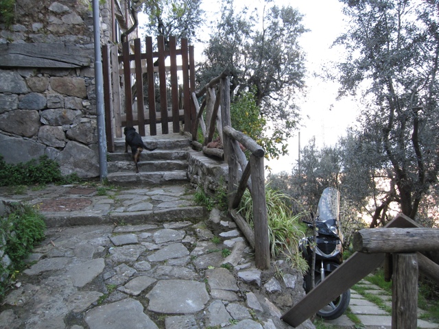
You go right by people’s houses. This dog followed me for a while then pushed the gate open to this house.
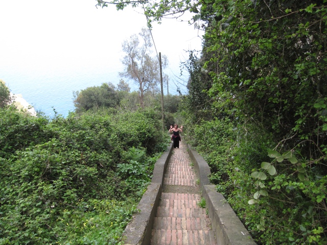
the footpath was quite steep. Even with my 5000-ft New Mexico-enhanced red blood cells I was getting pretty tired by this time.
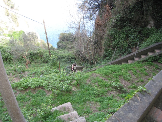
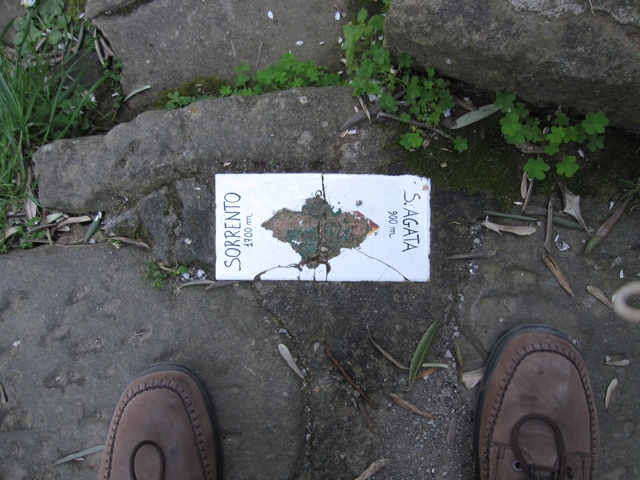
I was kind of hoping I was closer to St. Agatha but you can see I was only 2/3 of the way. You can also see what kind of shoes I wore for the walk.
Now I am 80% of the way I guess. I turned and saw the sign directing me back to Sorrento. The guy in the sign looked so casual and jaunty “Oh I guess I’ll just pop down to Sorrento and back on these steps.”
Almost to the top, back on a regular street, these houses have nice views.
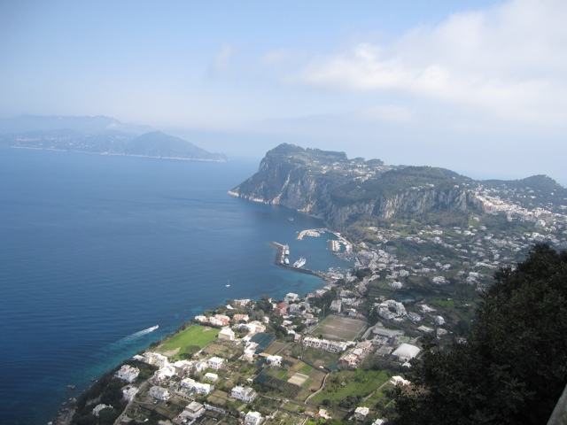
Finally I get to St. Agatha which is another town, smaller than Sorrento but with houses and stores, and, I was glad to see, a little place to get a bottle of water for 40 euro cents. Here is the view from a street in St. Agatha.
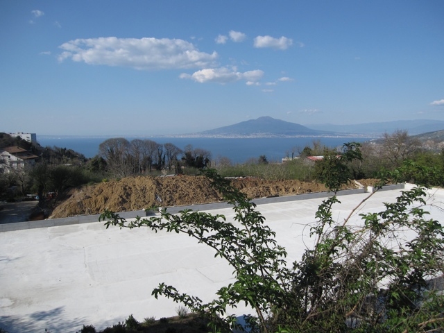
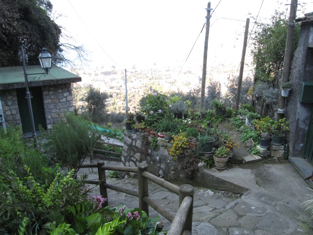
Now I’m on the way down. Here are a couple of nice scenes. It took me about a hour to go up and about 40 minutes to go back down. I started at 3:45 and got back about 5:30.