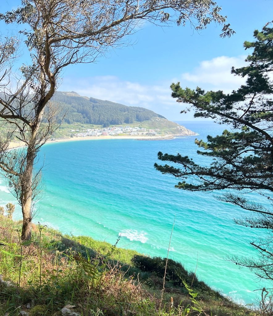
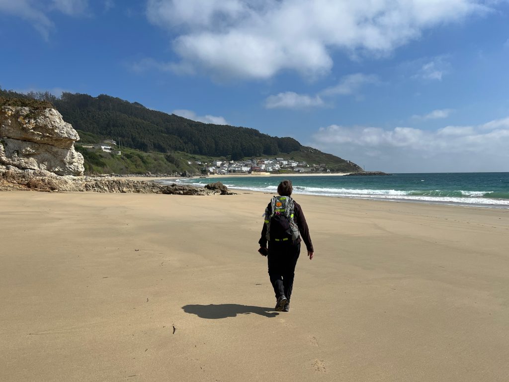
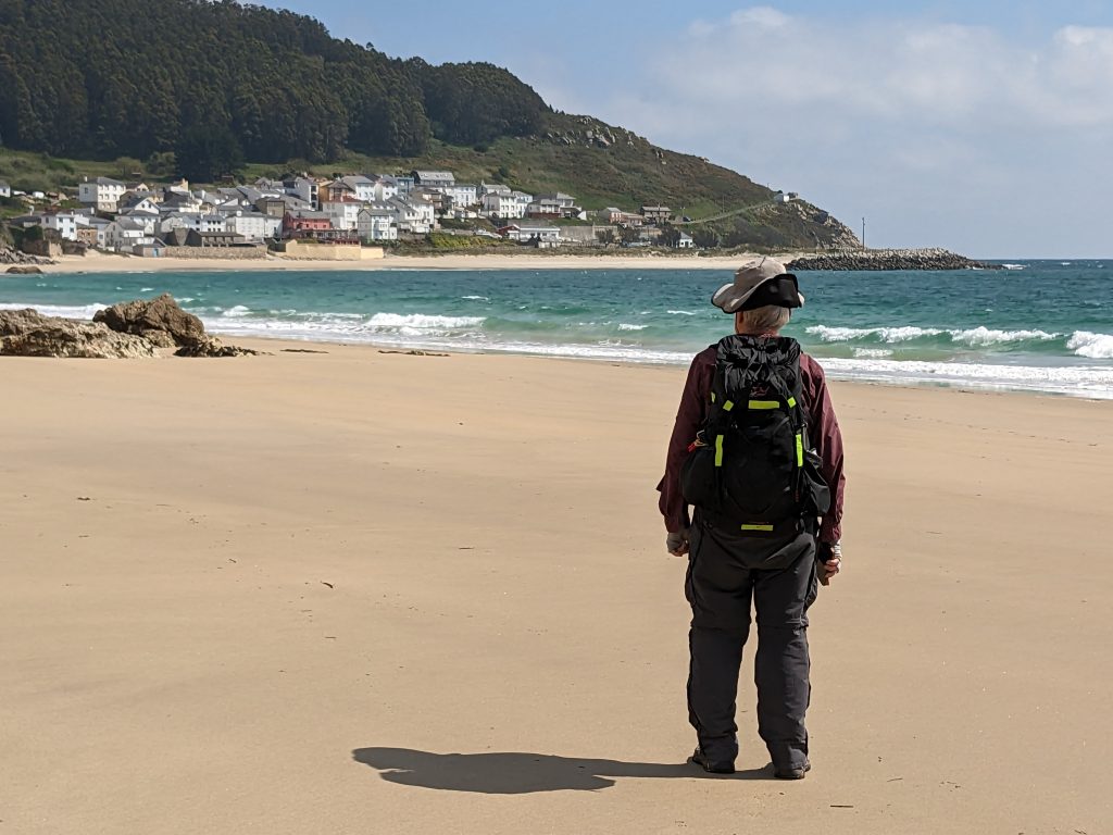
Today we walked from our hotel in O Barqueiro to Bares, a little town up north near a lighthouse that is the northernmost spot in Spain. On a normal Camino all you need to do is follow the yellow arrows which mark the path every 100 yards or so. It is easy. For walks like the one today which is not on the Camino or on the Ruta, we use an app called Wikiloc which records walks taken by lots of people all over the world. We found several paths we could take and chose one that did not have too much up and down.
By “path” we mean a GPX track that someone records using the GPS on their phone. Wikiloc loads the track and you see it on the map along with your current location. You just follow the track. If you get off the track Wikiloc beeps at you. It is pretty much impossible to get lost.
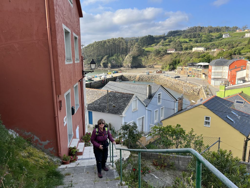
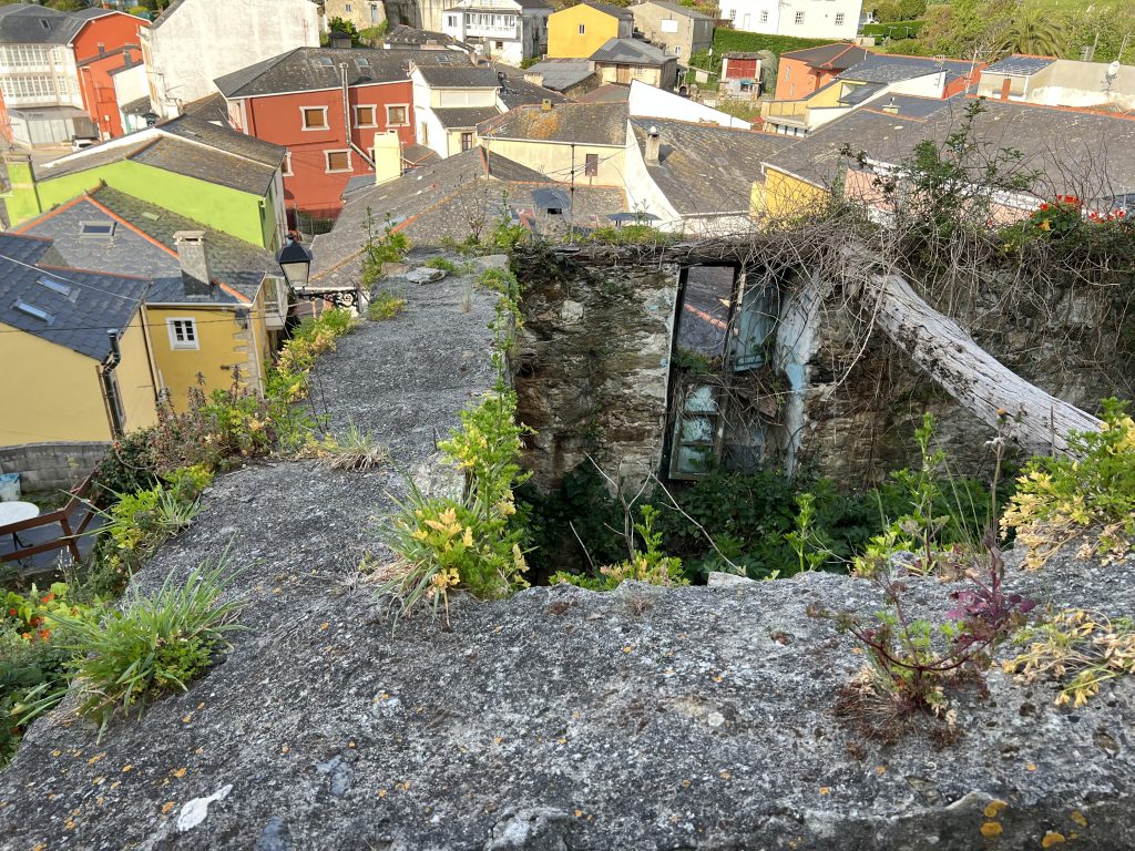
O Barqueiro is build on a hill so the first thing we did was climb up and up and up to the top of the town,
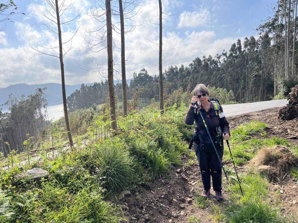
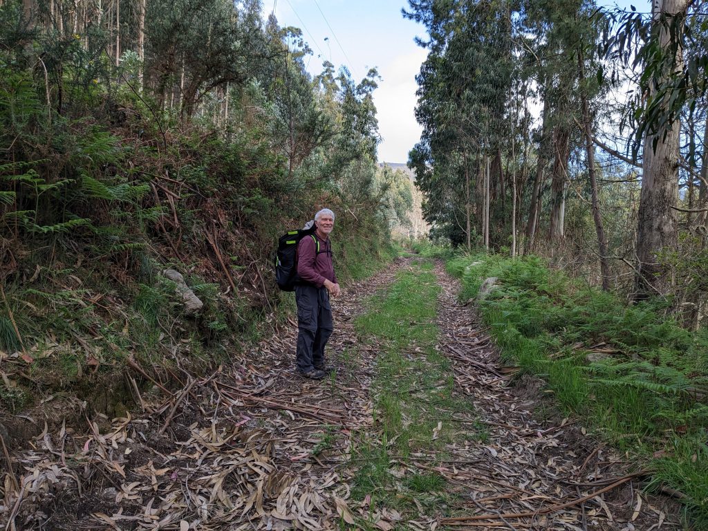
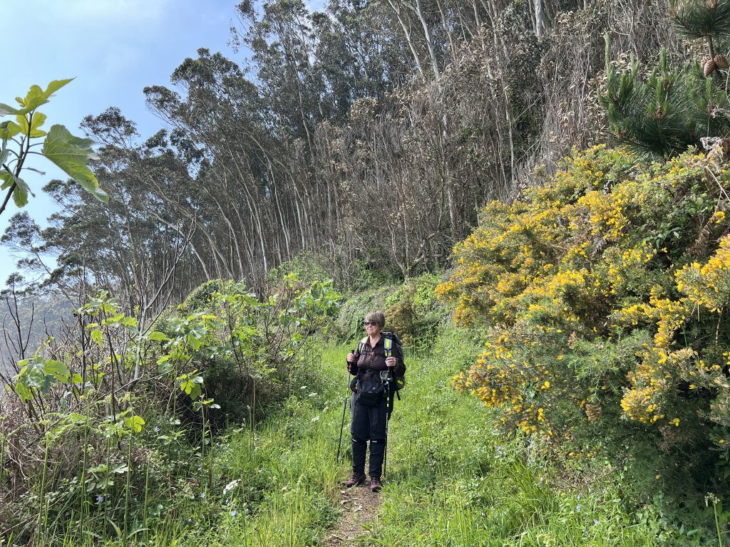
We started on a road and is was easy walking. This is a cinch. The track said it was only four and a half miles to Bares. We continued along the road through a few forks.
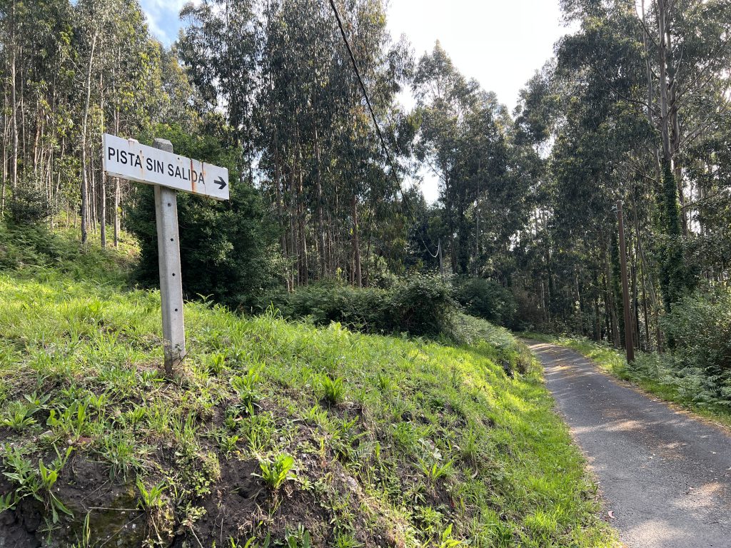
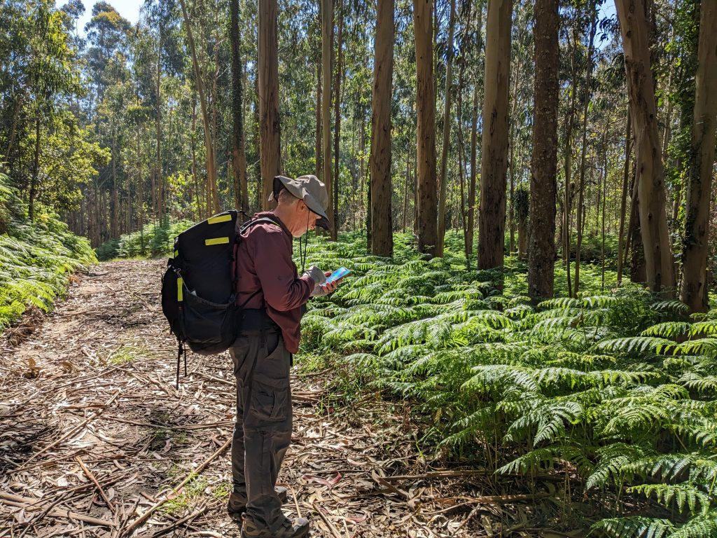
Oops, Wikiloc is beeping at us. I check the app and a red banner says “you are leaving the trail”. We backtrack and realize we should have taken an overgrown logging road that was hard to see.
Beep, beep. You’re off the trail again. This is the turn we missed. Take the right one. It hardly looks like a trail at all.
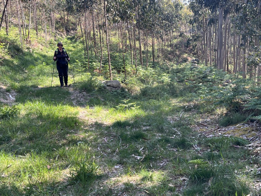
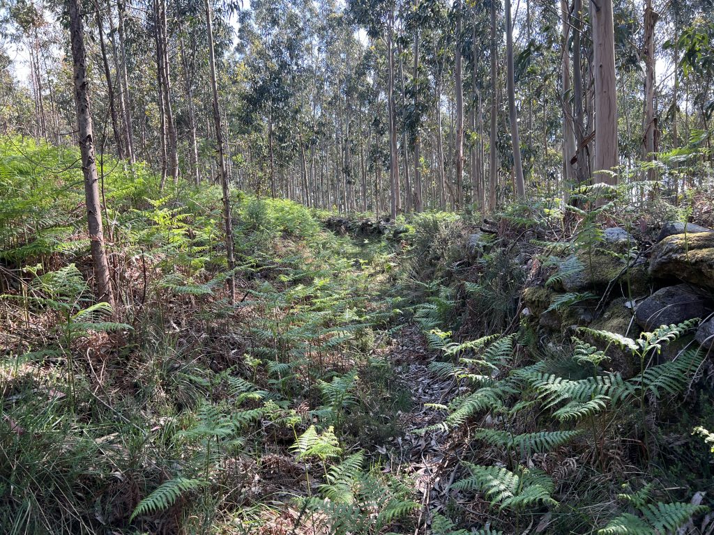
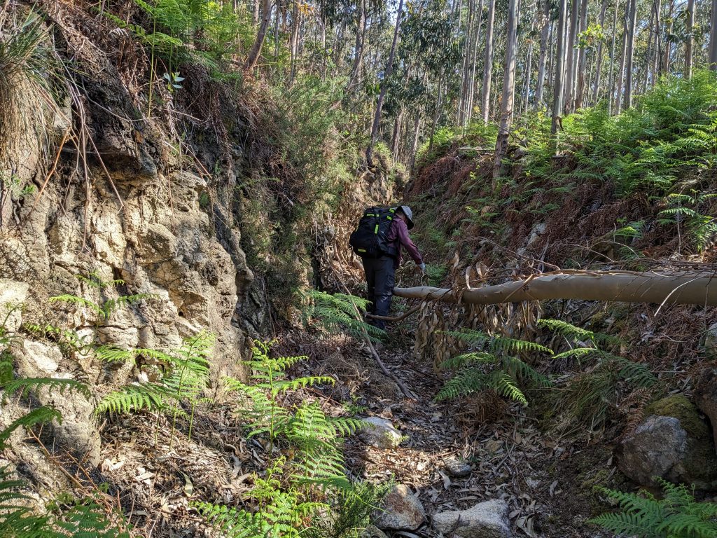
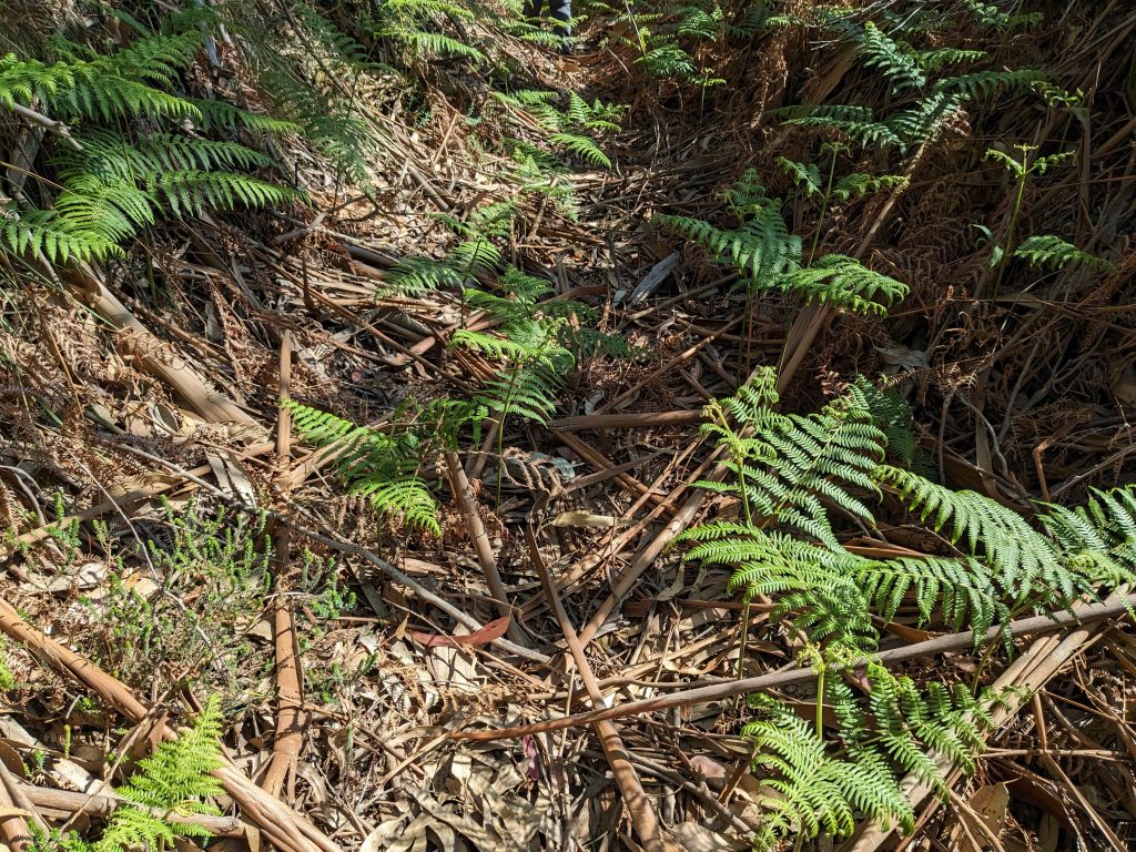
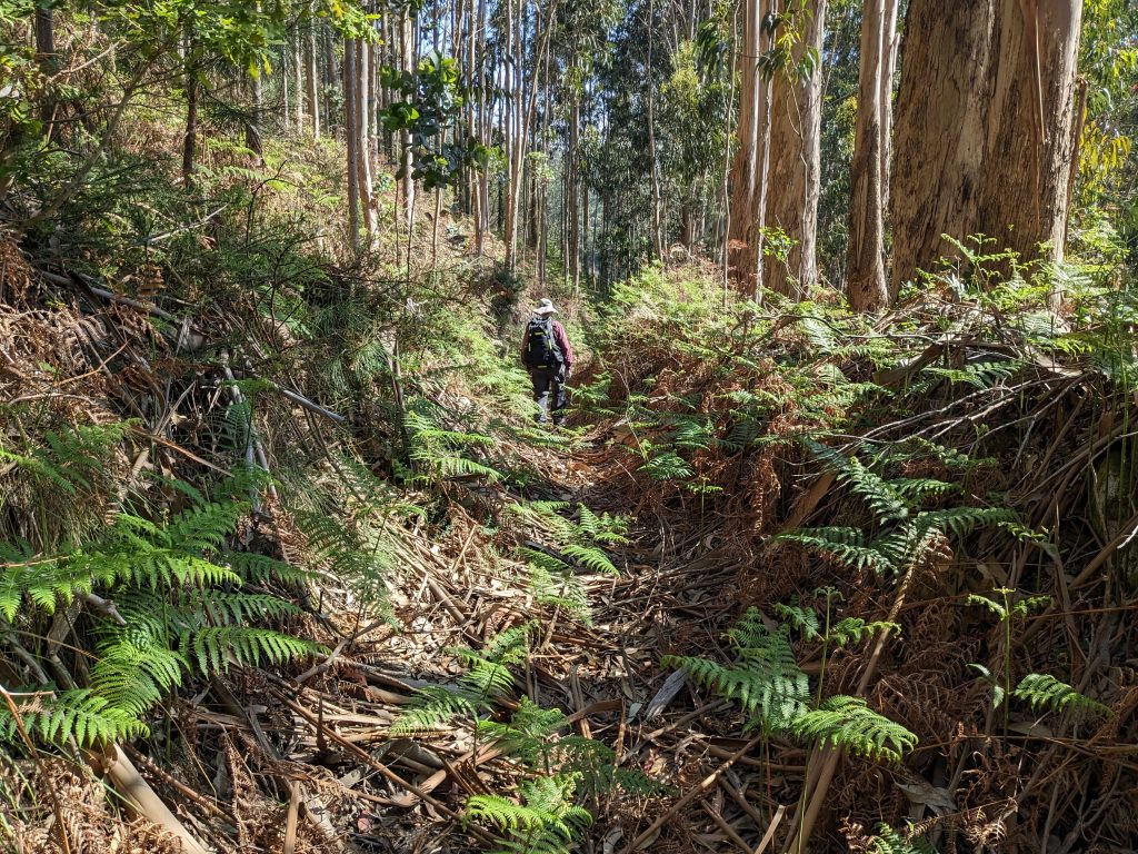
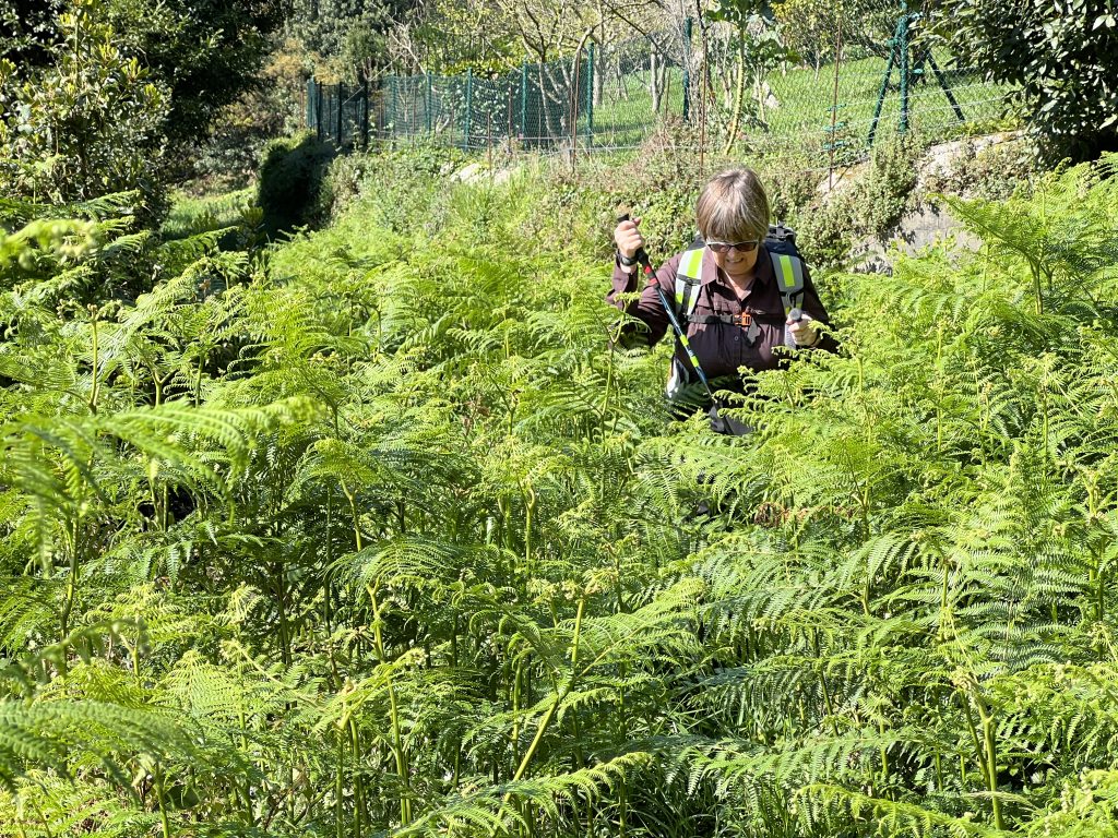
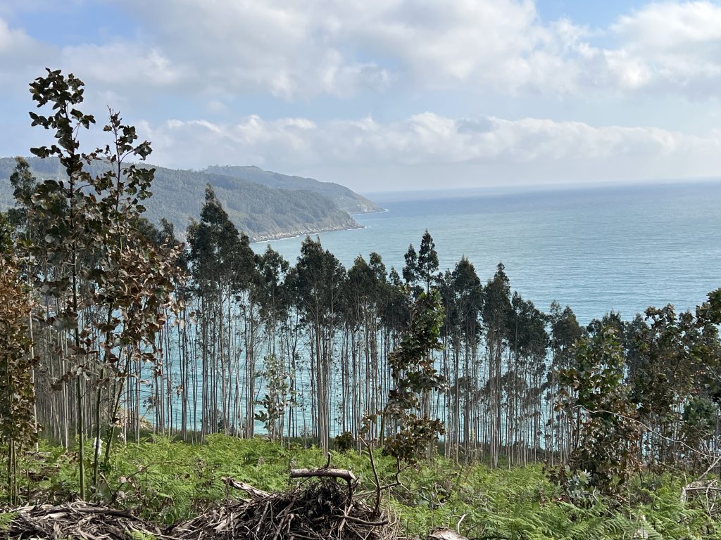
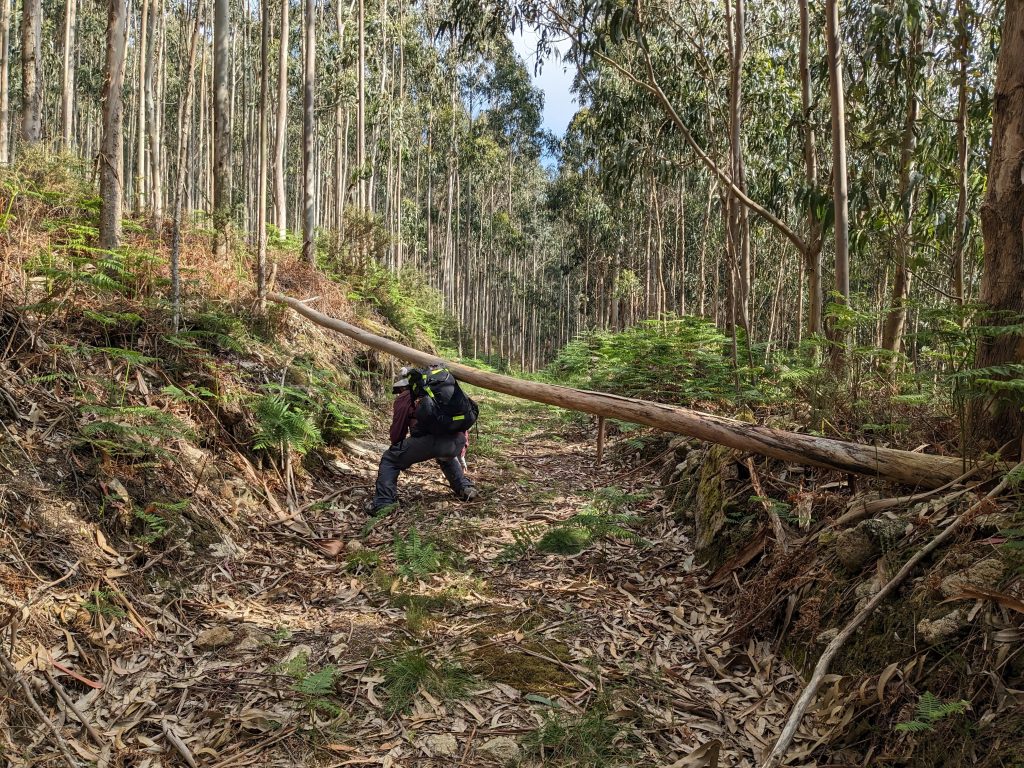
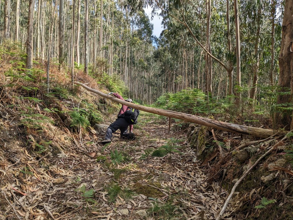
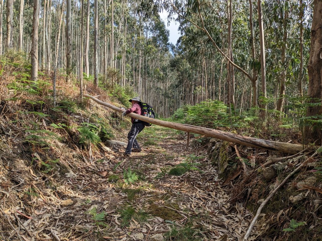
Then it got even worse. We were walking through nettles and it became impassable. We turned back but after 30 yards we realized we were about ten feet off the trail. Not far enough to get buzzed by Wikiloc and within GPS variability. The right trail was not much better but we made it to a forest road that was easier to walk.
That’s quite an “off-road” adventure!
Yep, we kept saying “well, at least we are having an adventure”.