Some stastistics.
Miles walked, 9.2 (7.8 on the trail itself) Total: 9.2 miles
Fitbit steps, 25104
Flights of stairs climbed, 140
Total walking time, 4.5 hours (including a coffee stop)
Elevation gain 1145 feet
Elevation lost 554 feet
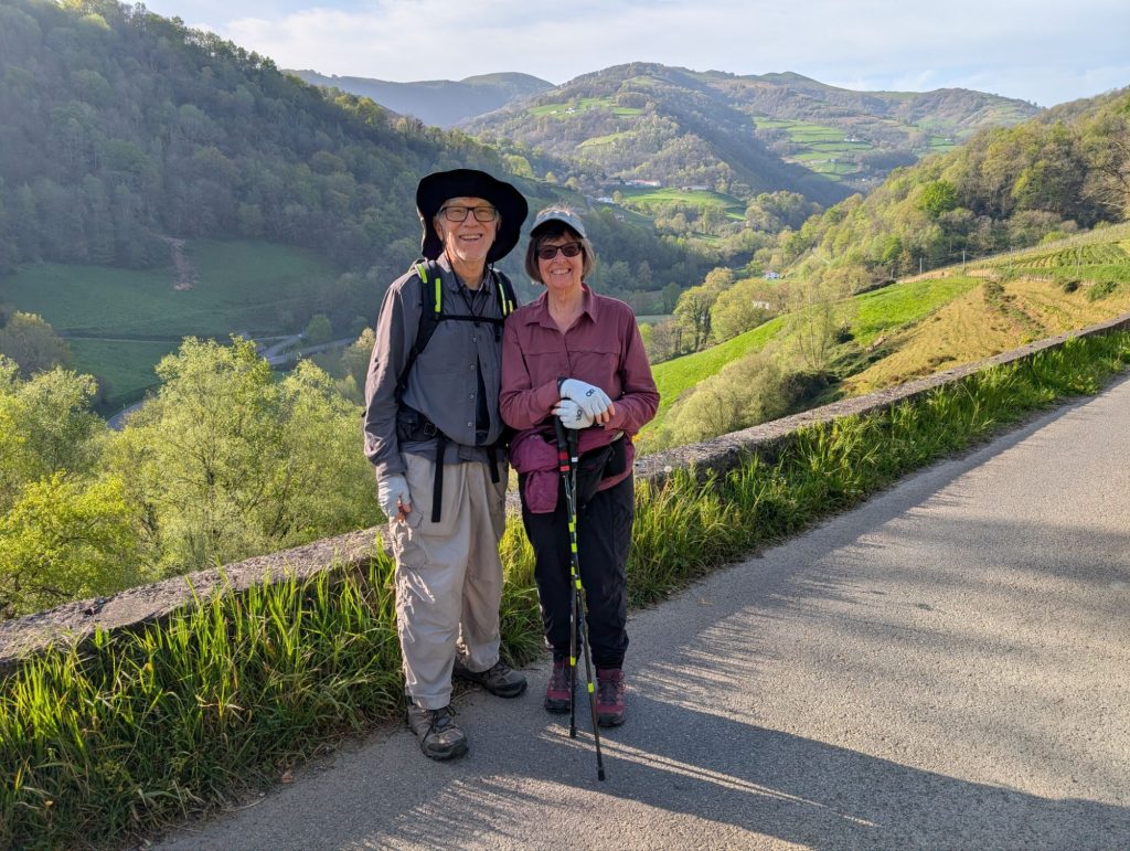
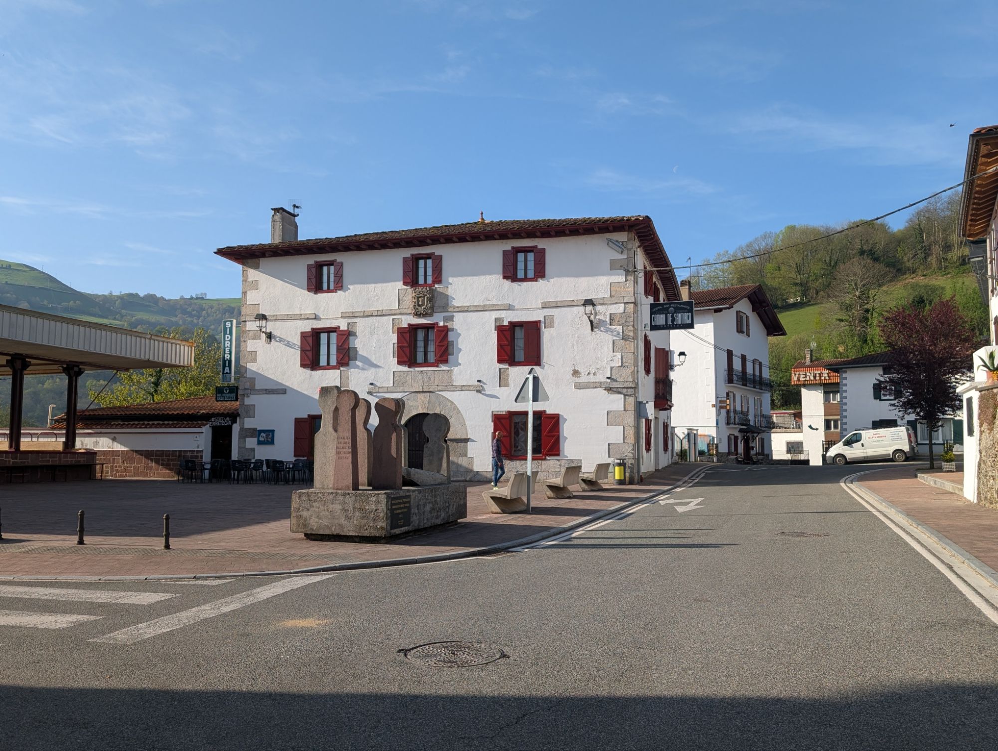
Finally, on Thursday morning, we began the Camino walk!
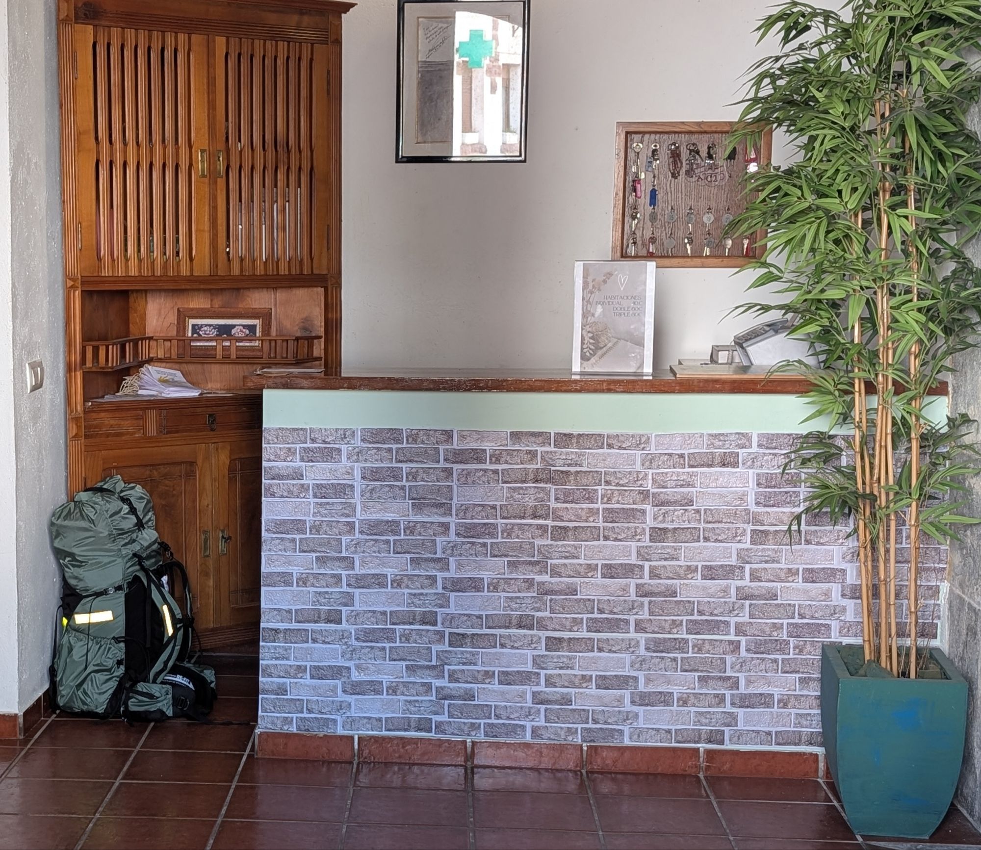
We are using baggage transfer. While we are walking, I’ll only carry a waist pack and Charlie will be carrying his backpack, but just for things we might need during the day’s walk. My pack, the transfer pack, gets crammed full of all our clothes, toiletries, etc. We leave it in the reception area of the place we are staying and when we arrive at our next place, it is there waiting for us. That’s always the plan anyway. We arrange all this via a reservation on the internet. https://www.jacotrans.es. Cost is 7€ per transfer. (Today, a euro is worth $1.17.)
So, we woke up, dressed, packed most of our things in the transfer pack, went downstairs and left it in the reception area. Said a little prayer that it would make its way to where we planned to spend the night. Then, we made ourselves coffee and cereal in the hostal kitchen, had a nice chat with an Australian couple who were about to start their Camino. They said they were exhausted from their long flight. They had had to scramble to make last minute travel changes because their original flight was supposed to go through the middle east. Their revised flight went through Singapore.
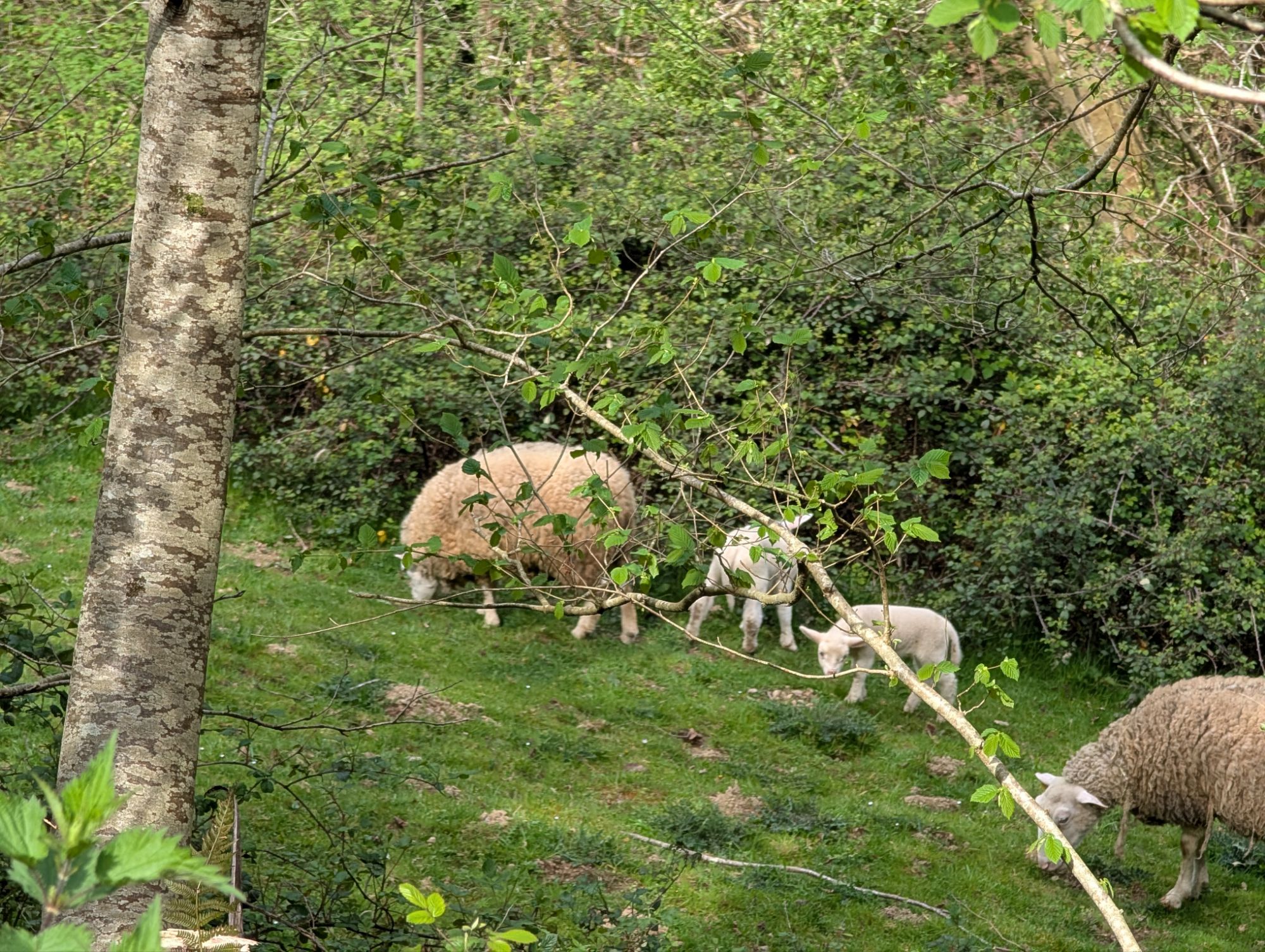
After breakfast we headed out, as always energetic and excited about starting the day. As Charlie mentioned in a previous post, we took the lower valley route instead of the ridge route across this section of the Pyrenees. It was a pretty walk. Everything is lush and green. Much of it alongside a large stream/small river. It was 99% on small country roads with virtually no traffic.
About 2/3 way through we came across a strange village that seemed to be mostly a collection of mall outlets selling high end fashion and such. But there was a good bar and we had a delicious snack (chorizo and pepper sandwich) and coffee.
As always by the last mile, we were tired, a bit hot, and ready to be there. There was quite a bit of up and down on the walk and it was especially steep at the end.
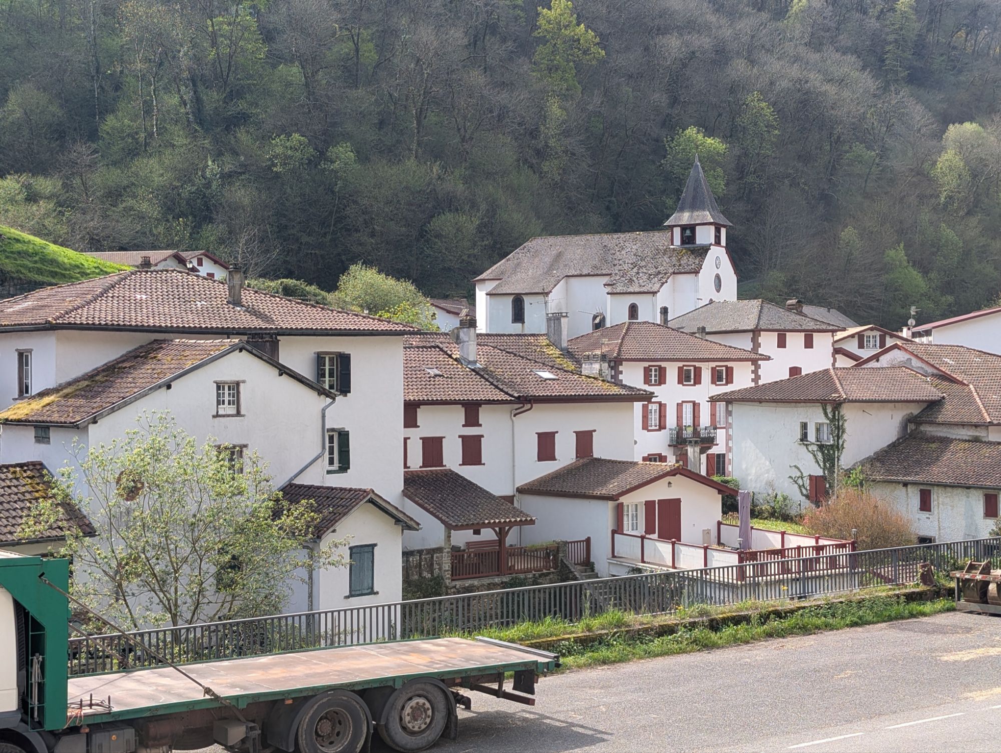
More about the walk and Valcarlos, our place for the night, in photos below.
In mid-afternoon, I noticed my throat was starting to feel sore. Not terrible. But I felt like I might be getting sick. (I probably caught a little bug on the plane or in the airport!) We’d already arranged to share a taxi the next day — up to the crest of the Napoleon route to continue our hike across the mountains. Finally after some agonizing we decided we’d better not plan on the ridge hike. Too far from civilization to not be feeling well. And I didn’t feel well enough to be motivated to do the very difficult and less spectacular valley hike. So … we cancelled the shared taxi, cancelled the baggage transfer, and arranged for a taxi into Roncesvalles the next day.
I was so disappointed to miss the ridge hike. I’ve heard much about that walk. But … you hear many stories about how hard it is, maybe it is just as well! I did encourage Charlie to go without me but he wanted us to stay together.
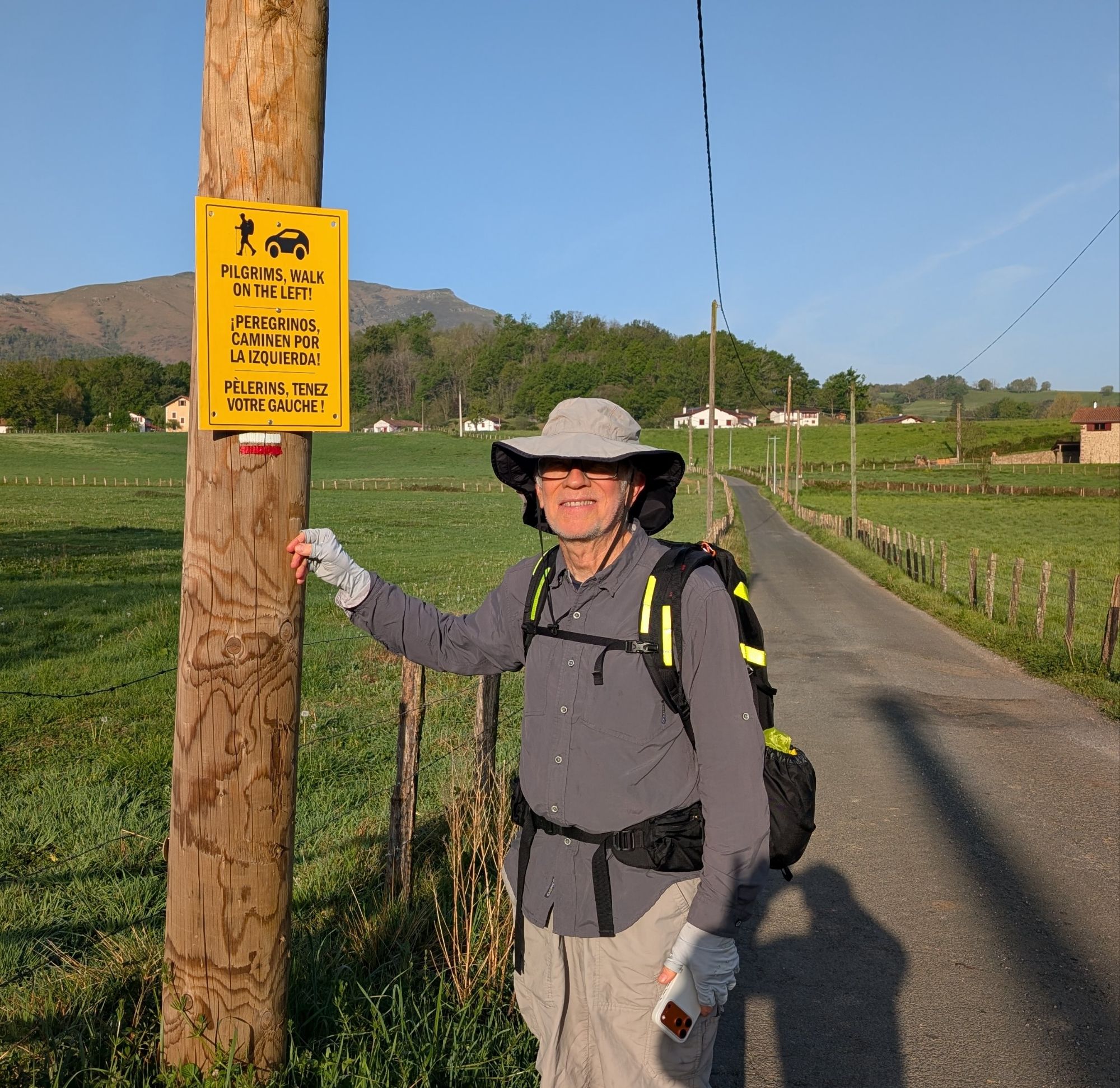
“Walk on the left”… facing traffic. The norm. Sign is there for the British, I suspect.